

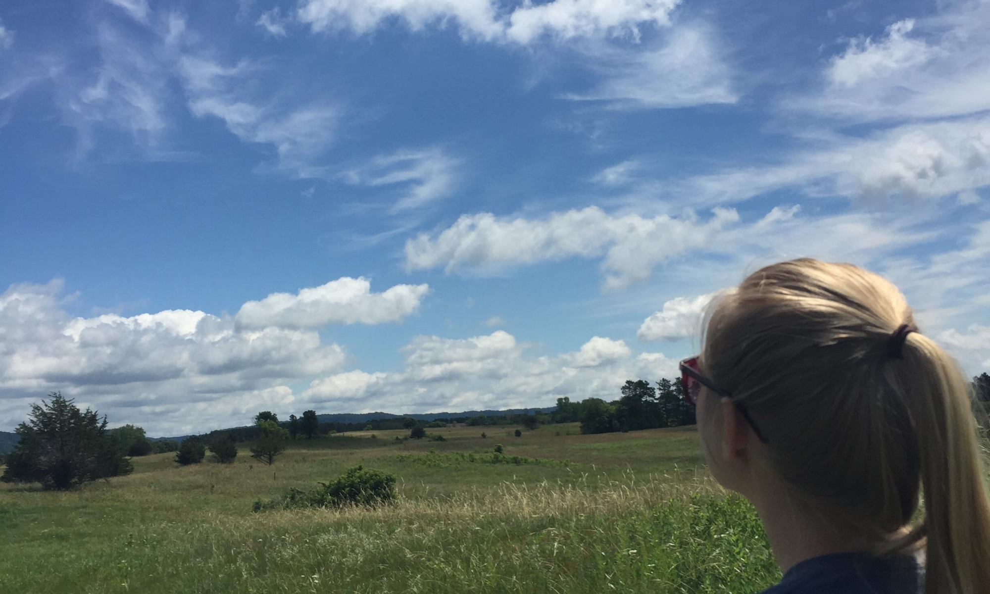
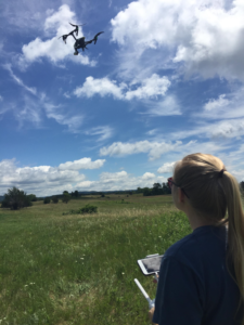
Much like their peers, juniors Emma Rinn and Alice Ready spent their summer outdoors. But rather than taking trips to the beach with their friends, they were doing conservation research with drones in the prairies Weaver Dunes Scientific Natural Area in Kellogg, Minnesota.
The pair monitored prairie restoration, specifically looking at areas affected by ash and burn spots on the southeast border of Minnesota and Wisconsin. Typically, this job would have been tediously conducted on foot. However, for Rinn, Ready and St. Thomas geography and environmental studies professor Paul Lorah, the process of restoration was made more productive through the use of drones.
“Drones are an efficient, accurate way to acquire landscape-scale data,” Lorah said. “Students process images taken from the drone in our lab and generate both map layers and 3D models of nature preserves.”
A variety of factors can affect the use of drones when monitoring landscape. Rinn said that drone users have to consider the height the drone will fly at and the speed at which it will move.
However, some factors are out of a user’s control. Among other things, the tree cover in an area that conservationists are observing could be too dense, or it could be extremely windy.
“We had to fly at different elevations to try and get pictures that wouldn’t cut parts of the prairie out,” Rinn said. “It was difficult at first but then we got the hang of it.”
As they worked with drone, Rinn and Ready found that flying too close to the foliage resulted in portions of the images to be cut out of the pictures as a whole.
“The hope was to fly the drone lower to the ground for higher quality images,” Ready said.
“We didn’t think we would lose whole parts of the prairie in the process.”
To address this, they spliced images together to form a cohesive picture that can be used to survey the area. Rinn and Ready’s work dove deeper into drone usage and how it can aid conservation efforts.
“This way conservancies can scan areas way faster than on foot and more accurate than on foot, since they can refer back to it,” Rinn said.
Efficiency will be essential in future efforts to restore landscapes to their original beauty, Ready added. The images provide helpful reference points for conservationists to apply to future studies.
“The goal for this was to show how studies like what we did can be done time after time at the same flight (path),” Ready said. “They will be able to run it year after year.”
Studying maps and models can lead to important insights that will assist community partners like the nature conservancy. This will help them decide how to best look after the conservation lands, according to Lorah.
In the near future, other Tommies will have the opportunity to take their drone-flying skills out for a test drive. The pair set up the framework for upcoming class labs and expeditions offered out to Kellogg to continue the study on the prairie.
Rinn and Ready are excited to see the further exploration of this study in the effort to make conservation more effective.
“As the technology grows, so does the power of what you can do with conservation,” Ready said.
MacKenzie Bailey can be reached at bail7757@stthomas.edu.